The Geospatial Intelligence Suite for Mining and Environmental Excellence

01 / Suite

Our Geospatial Intelligence Suite

Welcome to YNSAT, the geospatial intelligence suite designed for mining and environmental excellence. We provide our three industry-leading platforms, integrating the most advanced suite of functionalities with an intuitive user experience to transform the mining sector across every critical use case:

Greenfield Exploration

Accelerate target generation with unprecedented accuracy.

Greenfield Exploration

Our cloud platform delivers this advantage by providing the most complete and advanced software for mining exploration. It leverages multi-sensor geospatial intelligence to accelerate discovery and define high-probability targets by generating insights superior to conventional methods.

Remote Miner →

Environmental Monitoring

Ensure sustainable and fully compliant operations.

Environmental Monitoring

Our approach provides continuous environmental surveillance across various use cases, such as ground stability, mine closure risk management, and rehabilitation success. It delivers verifiable intelligence essential for the effective management of water, soil, and vegetation.

Remote Enviro →

Tailings Safety

Forecast hazards to prevent structural deterioration.

Tailings Safety

Our platform improves site safety via integrating historical stability evaluation and structural monitoring (including liquefaction/seepage risks). Significantly, it maximizes tailing storage capacity by monitoring overly humid zones to accelerate material solidification.

Remote Tailings →
02 / Why YNSAT?

The best of both worlds

The platforms' designs deliver the best of both worlds: a simple and intuitive interface combined with the most advanced geospatial intelligence technology.

User experience
01

Simplicity, accessibility

Intuitive interface for even non-remote sensing experts.

02

Workflow optimization

Streamlined pipeline to minimize fieldwork and budgets.

03

Team collaboration

Cloud infrastructure facilitates cross-departmental teamwork.

04

Reporting automation

Automated tools visualize key metrics in seconds.

A simple, intuitive interface.Hover a capability to explore it.

User experience

Simplicity, accessibility

Intuitive interface for even non-remote sensing experts.

User experience

Workflow optimization

Streamlined pipeline to minimize fieldwork and budgets.

User experience

Team collaboration

Cloud infrastructure facilitates cross-departmental teamwork.

User experience

Reporting automation

Automated tools visualize key metrics in seconds.

Analytical depth
01

Deep Intelligence

Advanced features and specialized algorithms for complex analysis.

02

Data Integration

Centralized hub for public and proprietary data integration.

03

Historical Data

Decades of archived data for long-term stability and forensic analysis.

04

Strategic Monitoring

Expert verification of asset status and environmental compliance.

The most advanced geospatial intelligence.Hover a capability to explore it.

Analytical depth

Deep Intelligence

Advanced features and specialized algorithms for complex analysis.

Analytical depth

Data Integration

Centralized hub for public and proprietary data integration.

Analytical depth

Historical Data

Decades of archived data for long-term stability and forensic analysis.

Analytical depth

Strategic Monitoring

Expert verification of asset status and environmental compliance.

03 / Impact

Redefining Mining: Proven Impact

Let the numbers do the talking:

0
time spent on manual reporting

YNSAT's automated reporting tools compile key metrics, alerts, and historical trends instantly, eliminating the need for manual report generation.

78x
optimized processing velocity

We ensure immediate access to analysis-ready data. This acceleration speeds up interpretation, driving faster results to optimize project profitability and efficiency.

63%
of Tier I Mining companies trust YNSAT

Our cloud platforms are the preferred choice for a significant percentage of the sector's leading companies: a testament to our reliability, and the value we deliver.

2x
the Earth's surface area processed monthly

Through our suite of three platforms, we deliver total Earth coverage, leveraging a wide range of remote sensing instruments, including satellite, airborne data and the integration of on ground instruments.

04 / Workflow

Define your scope: We provide the tools, you lead the journey.

This workflow is fully customizable. Depending on the project, specific steps may apply:

01

Define Project and Scope

Establish your target area and define your specific project goals.

02

Analyze and Extract Insights

You can create your own customized workflow or choose from our powerful features, utilizing our suite of insights.

03

Monitor and Alert

Our platforms constantly monitor changes, detecting anomalies and sending automatic alerts.

04

Drive Action and Collaborate

Visualize and compare data, then collaborate with your team through easy report generation and data sharing.

Talk to an expert:Book a demo →
05 / Case Studies

Discover our proven impact

See how we solve complex industry challenges through our integrated platform suite.

Remote Sensing for Environmental Monitoring

Environmental monitoring

Remote Sensing for Water Monitoring

Water quality

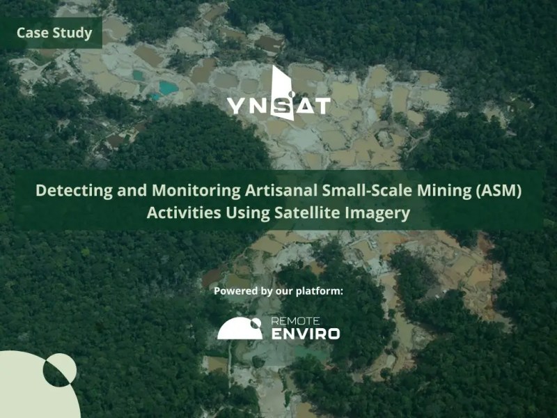
Detecting ASM Activities

Detecting ASM

Hyperspectral Imagery for Exploration

Hyperspectral exploration

Monitoring Tailings Storage Facilities

Tailings monitoring